Eyes in the sky....
good news folks!! google earth has put up some new, better resolution pics of the himalayas in google earth. it is really very very helpful when planning trips or simply when u want to pass time. here is a collection of pics of some towns/villages from uttaranchal...
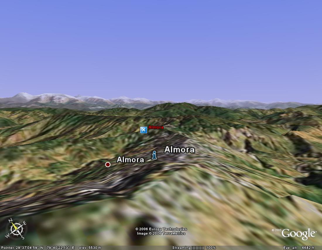
1). almora
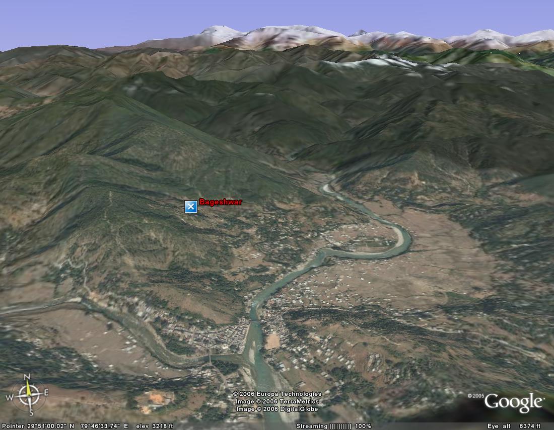
2). bageshwar
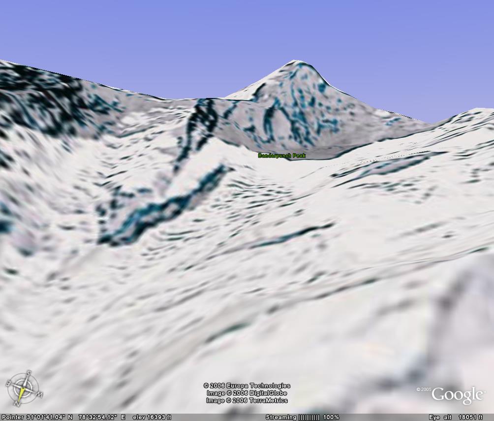
3). banderpunch peak (if u walk a little ahead of ruinsara tal, i guess this is the sight that will greet ur eyes)
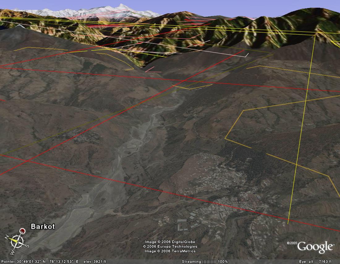
4). barkot
5) barkot - zoomed
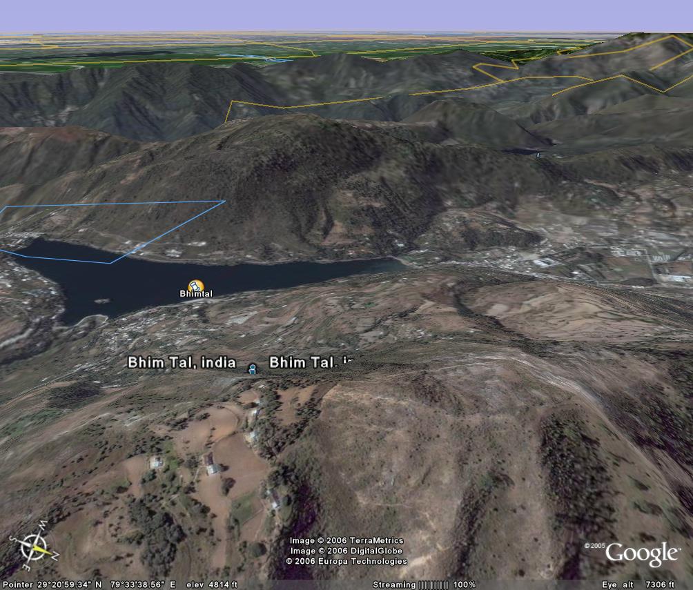
6) bhimtal
7) binsar
8) chakrata

9) chopta
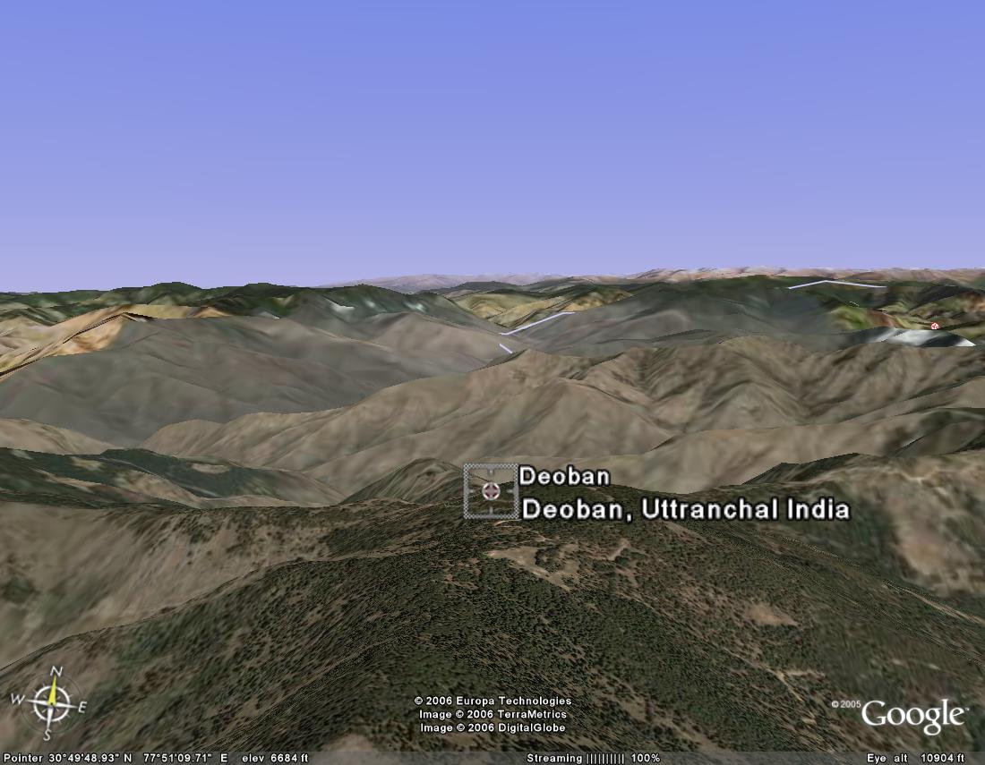
10) deoban .. a small forest guest house in the forests ahead of chakrata
11) deoriatal ... near chopta. where the 4 pandavas came to look for water n could not answer yaksha's questions
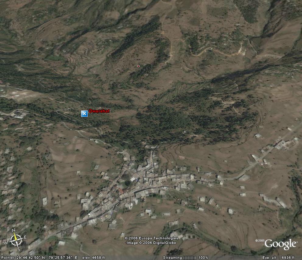
12) dwarahat ... near a river. there is an engg college here
13) haridwar
14) jeolikot..near nainital. lots of strawberries r grown here. so it is a very yummy place :-)
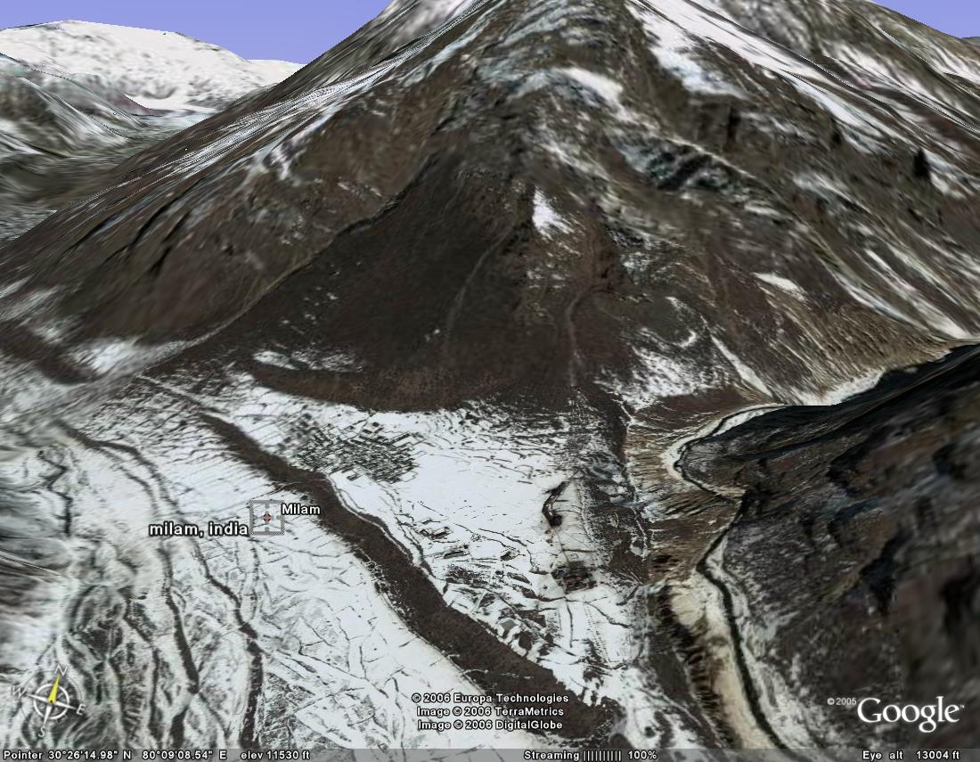
15) milam village - zoomed up. on the upper side is the village. below it are the itbp posts.
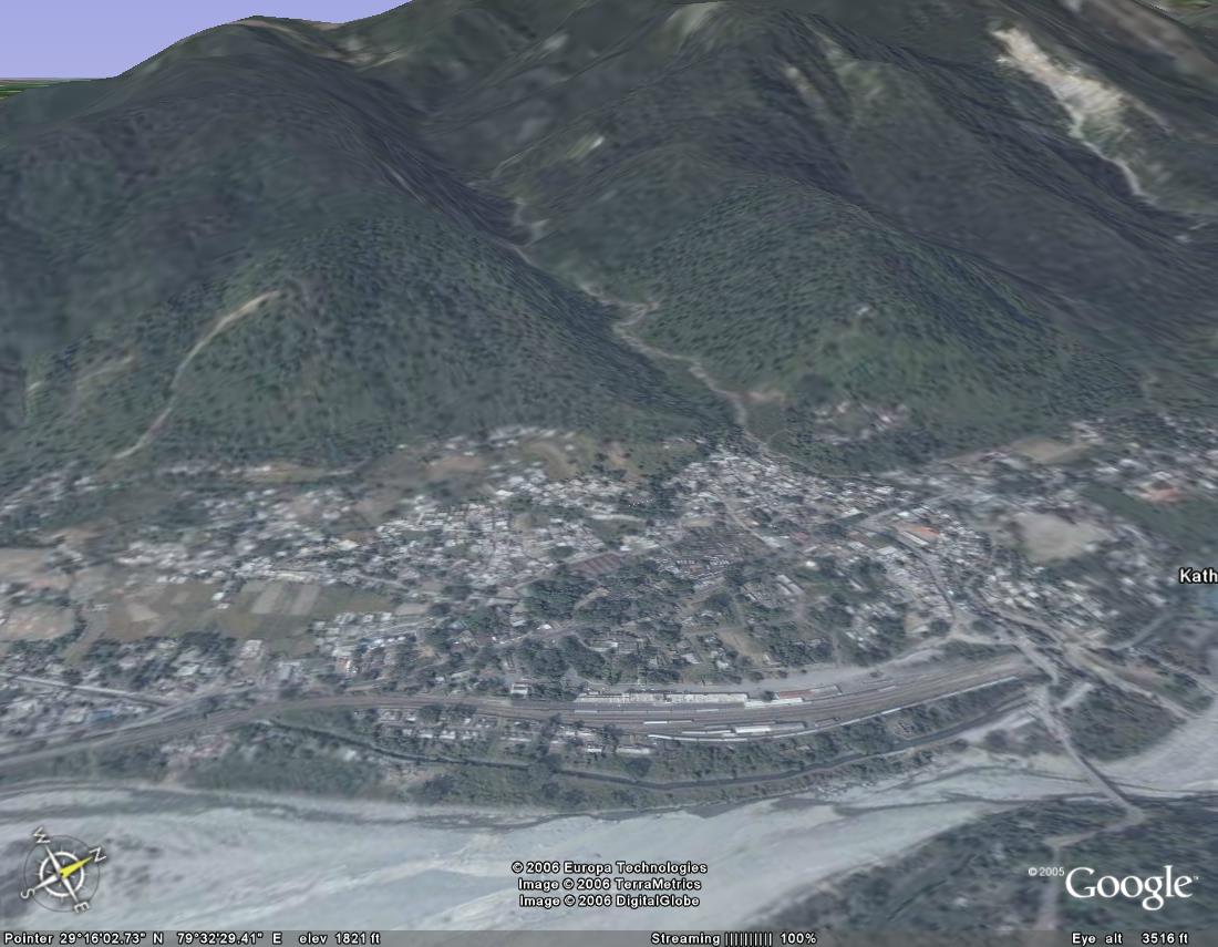
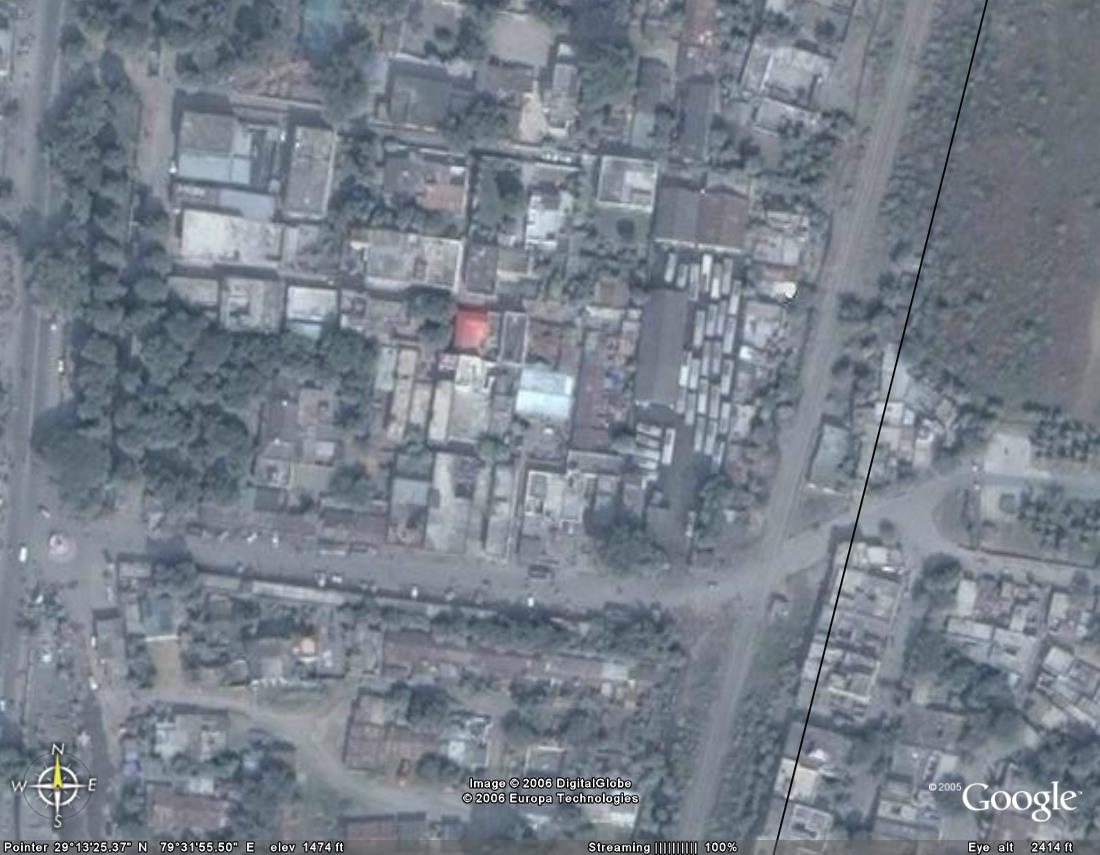
16) kathgodam railway station
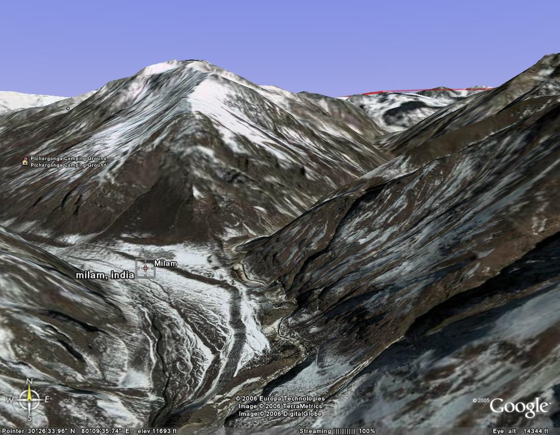
17) milam
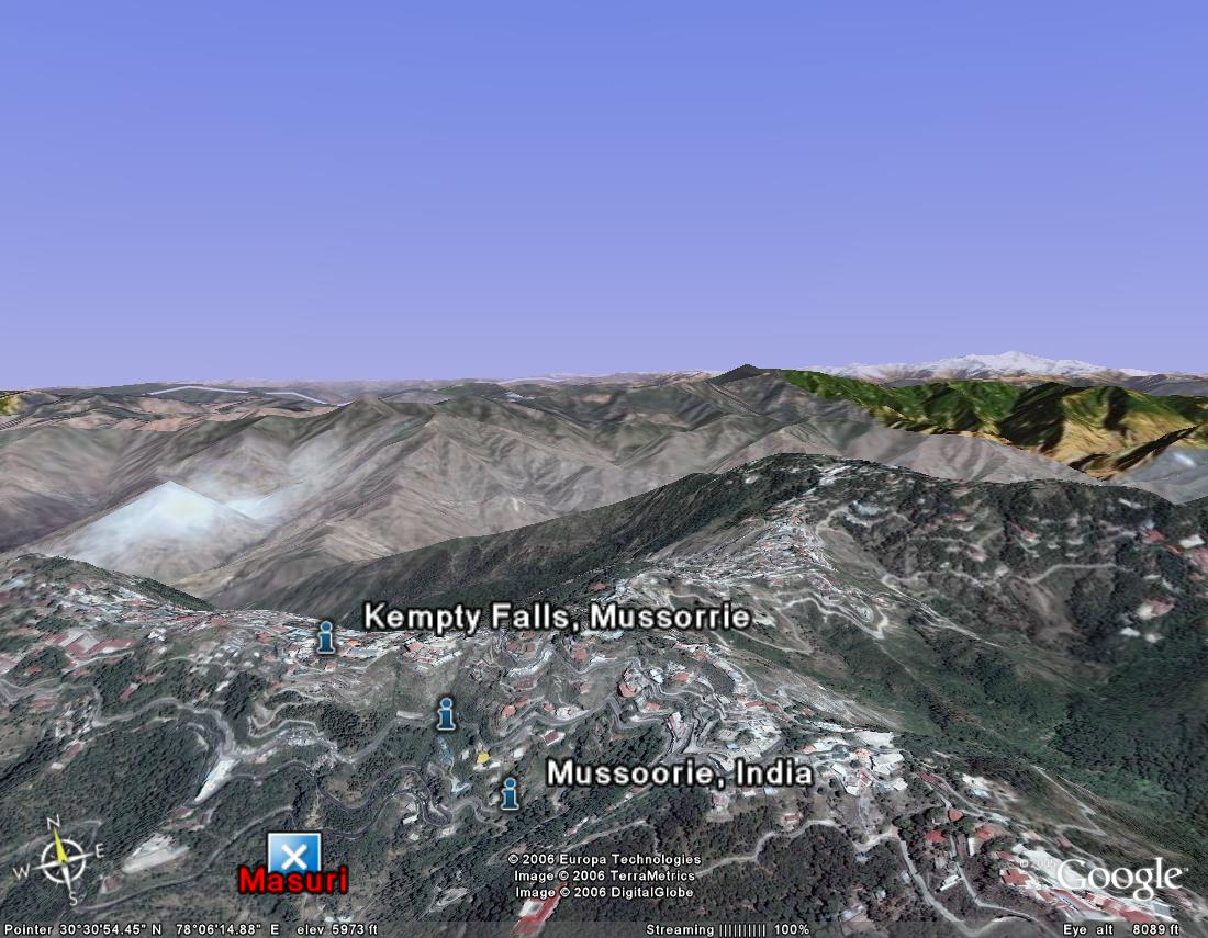
18) mussorie

19) nainital
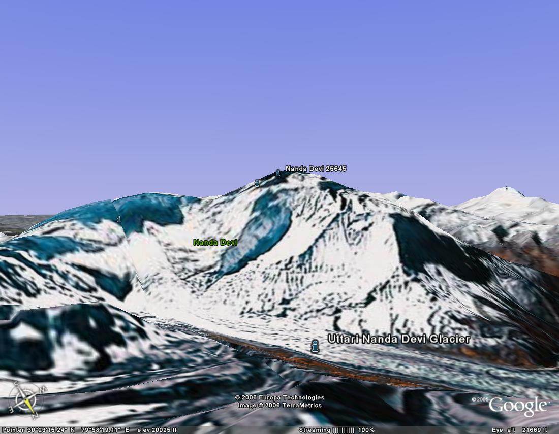
20) nandadevi-northface
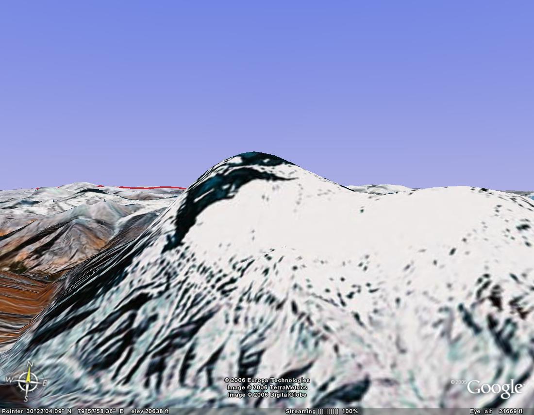
21) nandadevi-southface
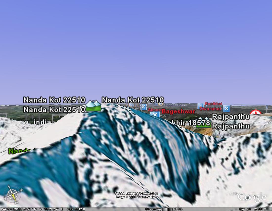
22) nanada kot
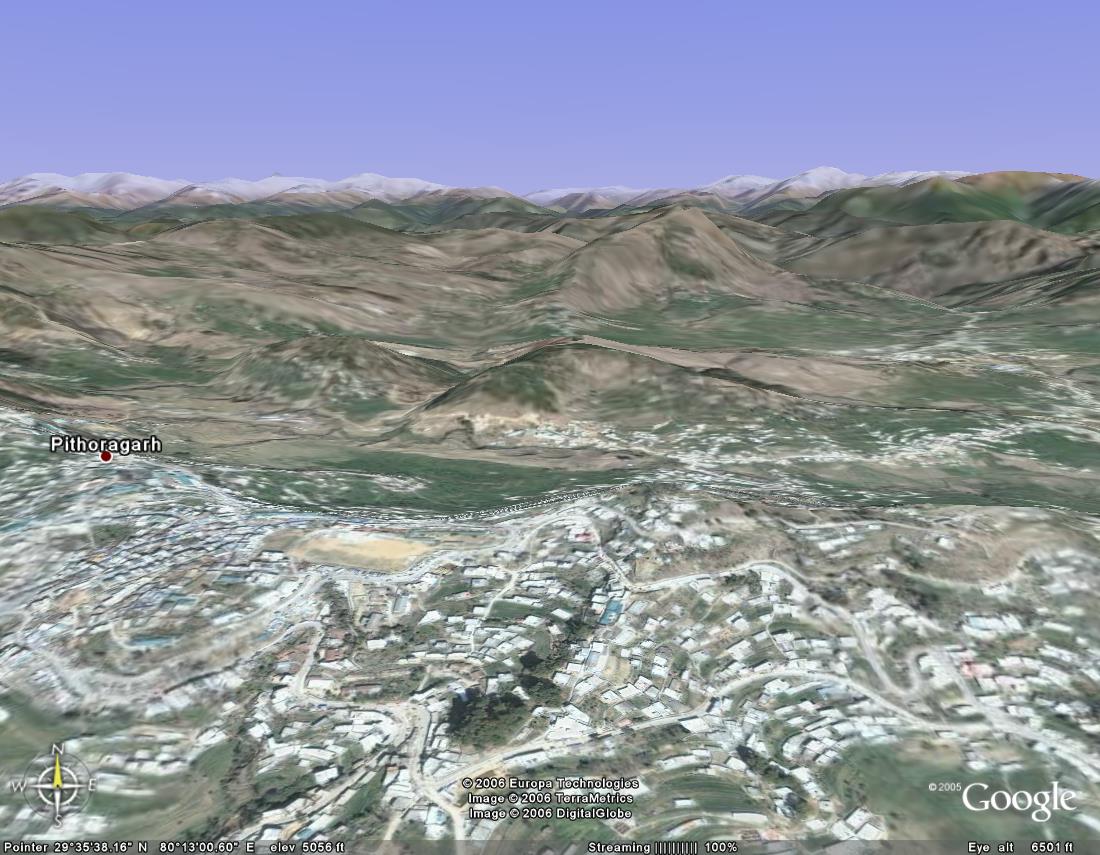
23) pithoragarh
24) purola

25) ranikhet
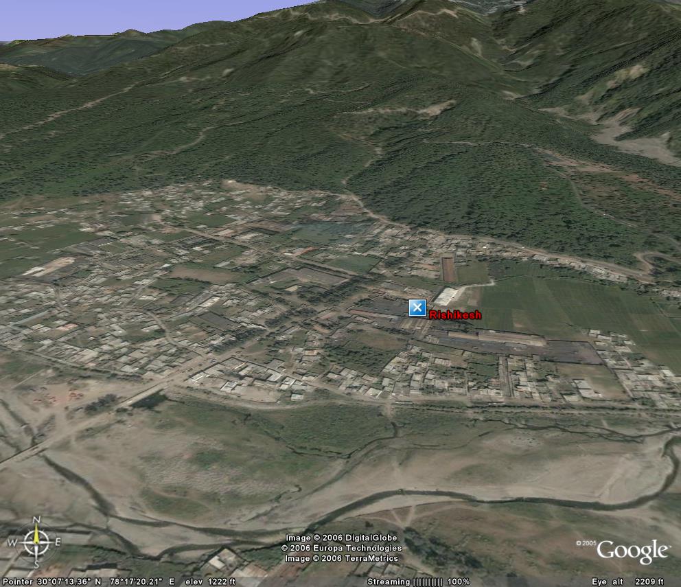
25) rishikesh
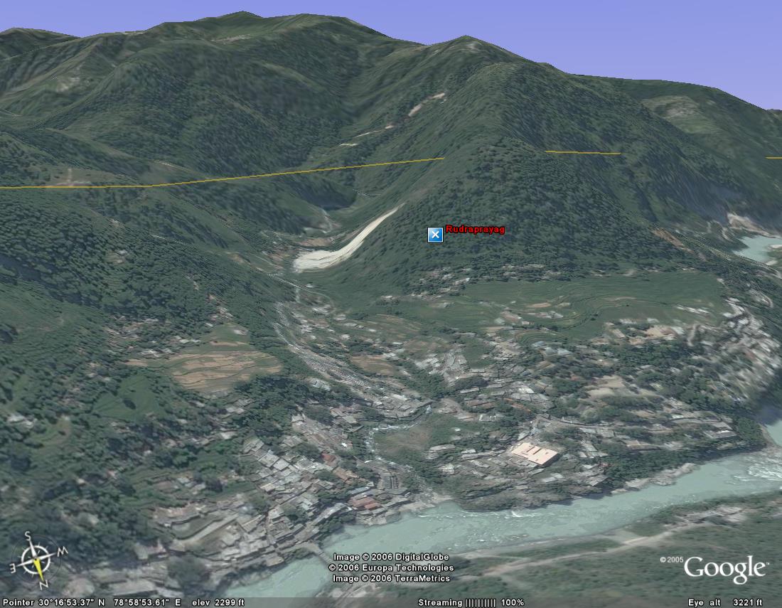
25) rudraprayag

25) trisul
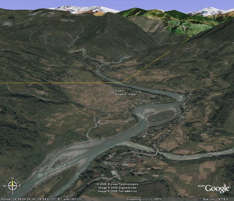
26) kapkot .. on the road from bageshwar to munsiyari
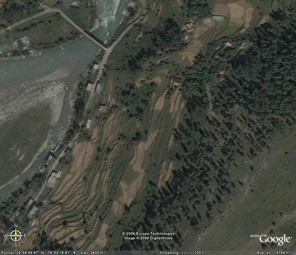
27) kapkot zoomed .. u can even spot a small car in the market place
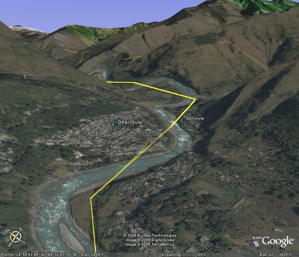
28) dharchula
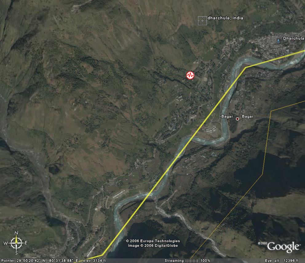
29) dharchula (india) and darchula (nepal) ... the kali river is the border
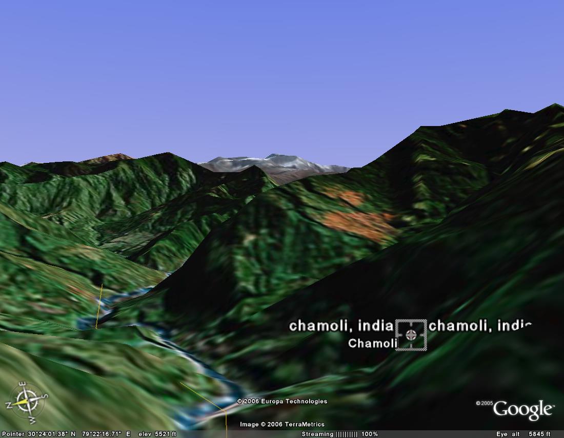
30) chamoli...not clear
31) karnprayag from top
32) karnprayag zoomed
33) karnprayag bridge..notice the tiny cars

34) tharali ... on the way to roopkund lake...
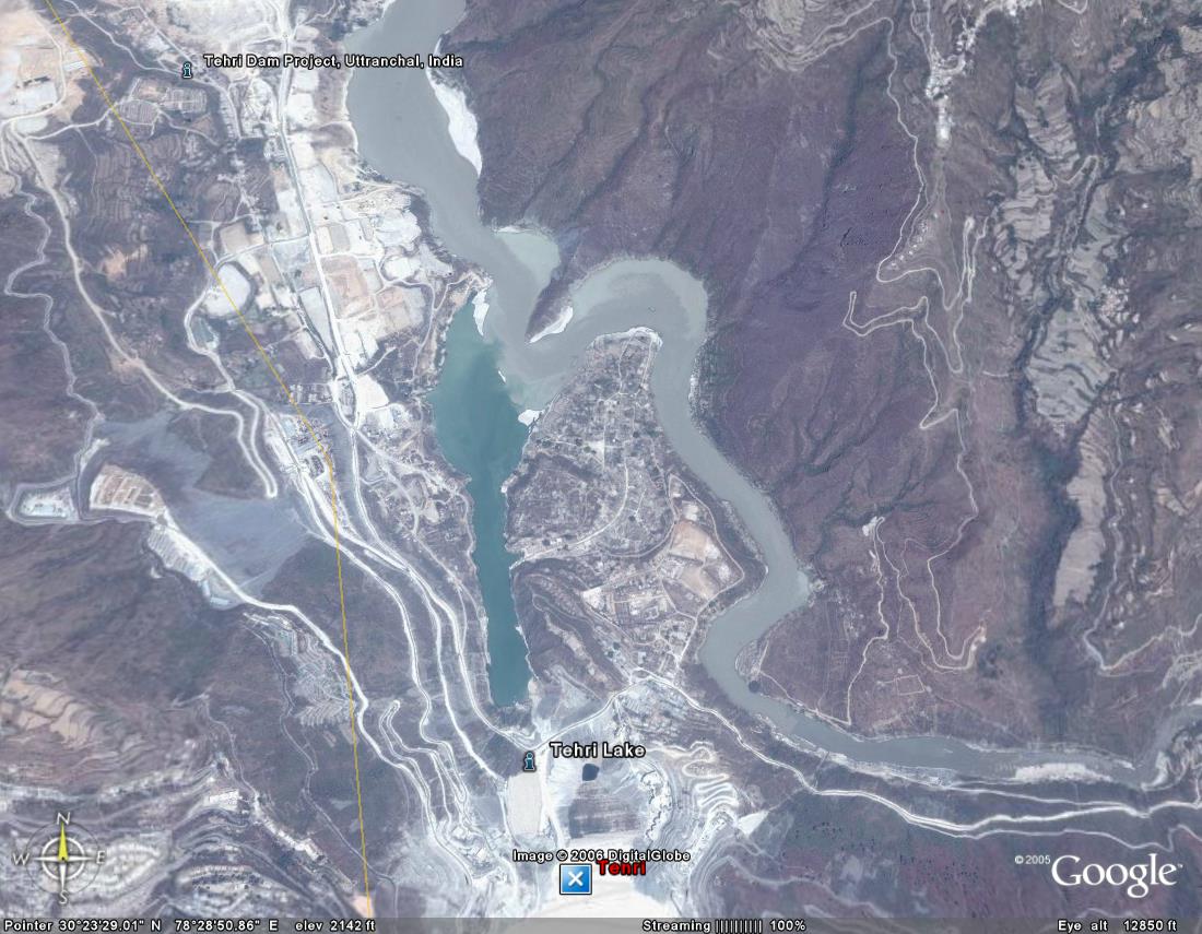
35) tehri - top view
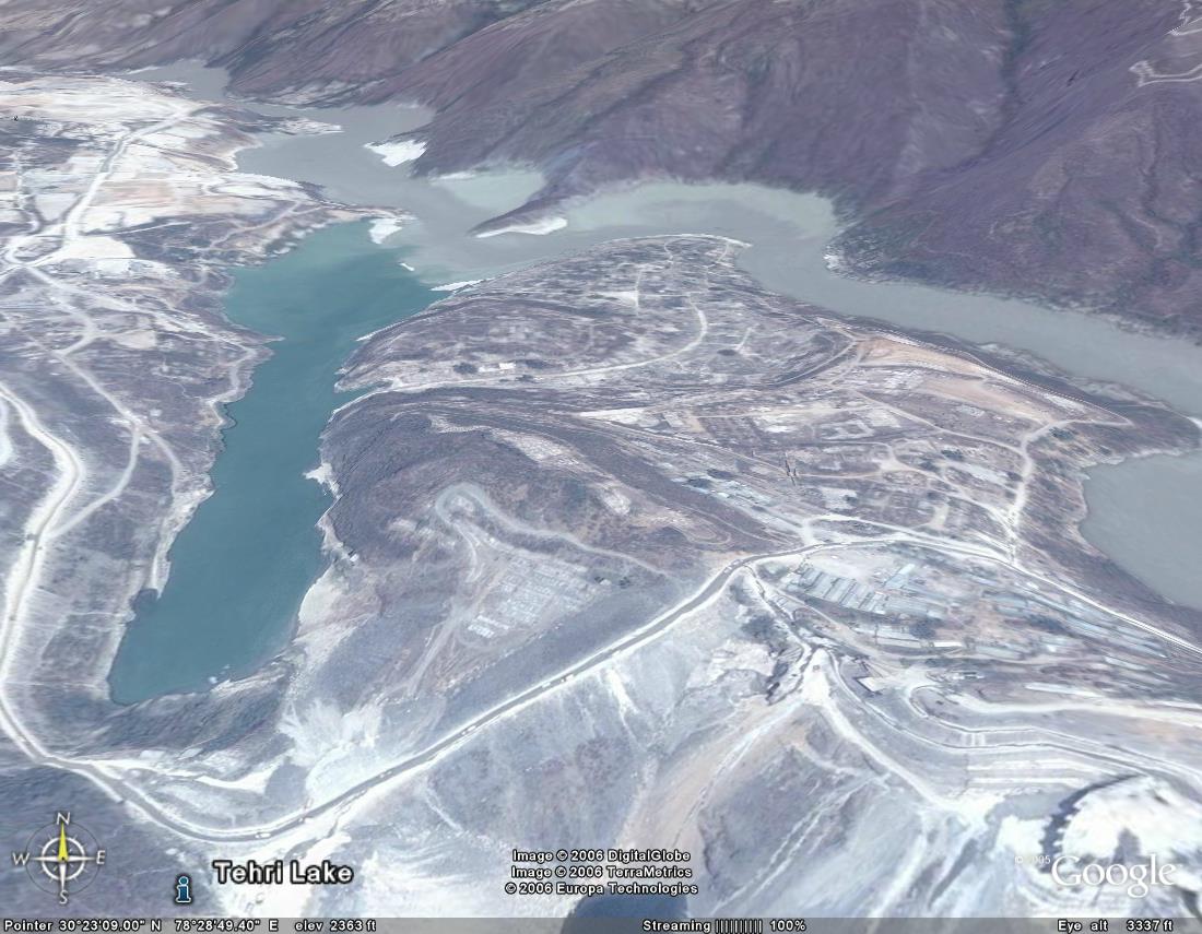
36) tehri dam
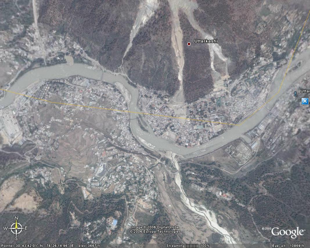
37) uttarkashi - top view
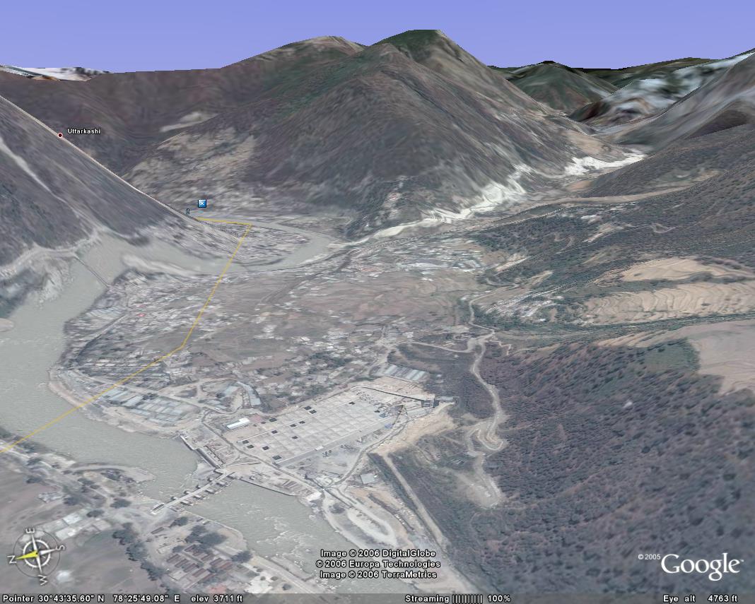
38) uttarkashi - horizontal view
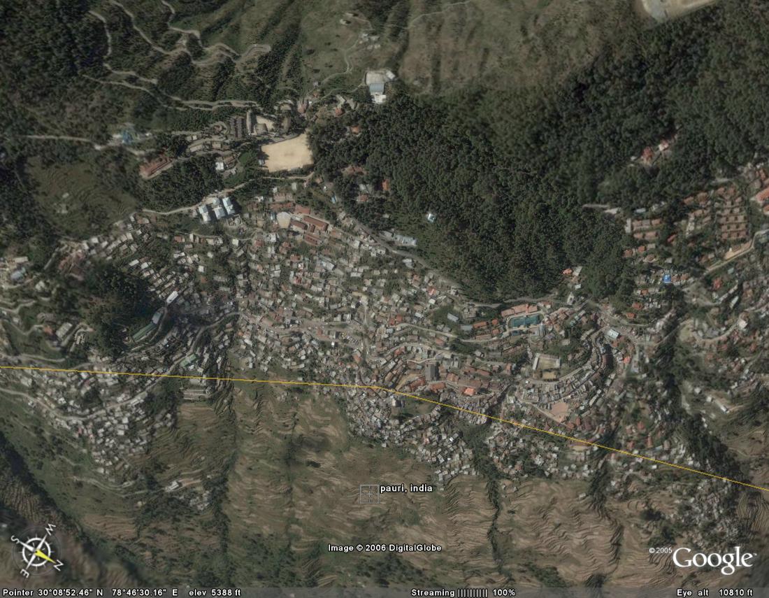
39) pauri - top view
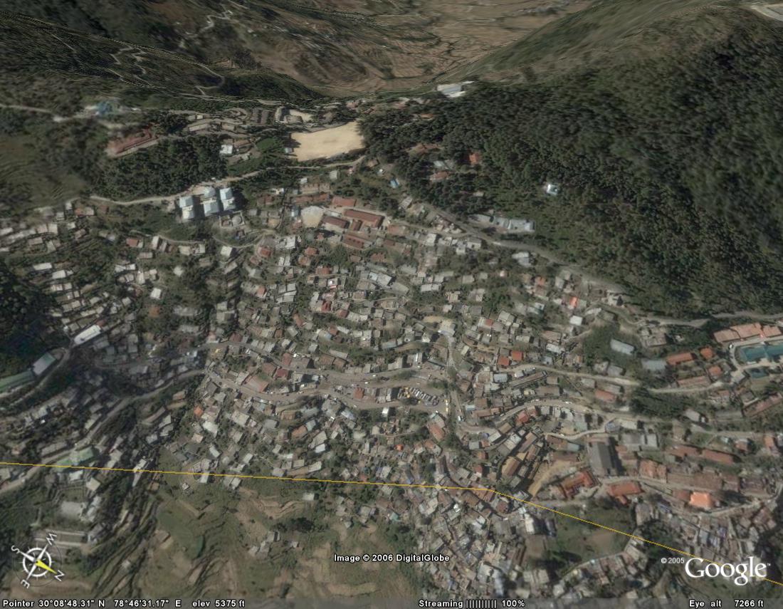
40)paurizoomed- pauri zoomed up
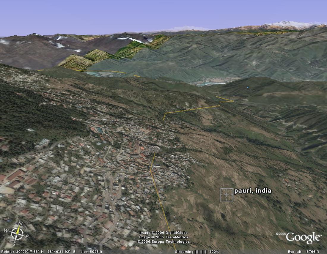
41)pauriside- pauri side view
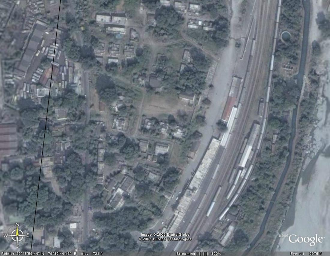
42)kgdrlwstn- kathgodam railway station zoomed up
43)hldbusstop- haldwani bus stop zoomed up
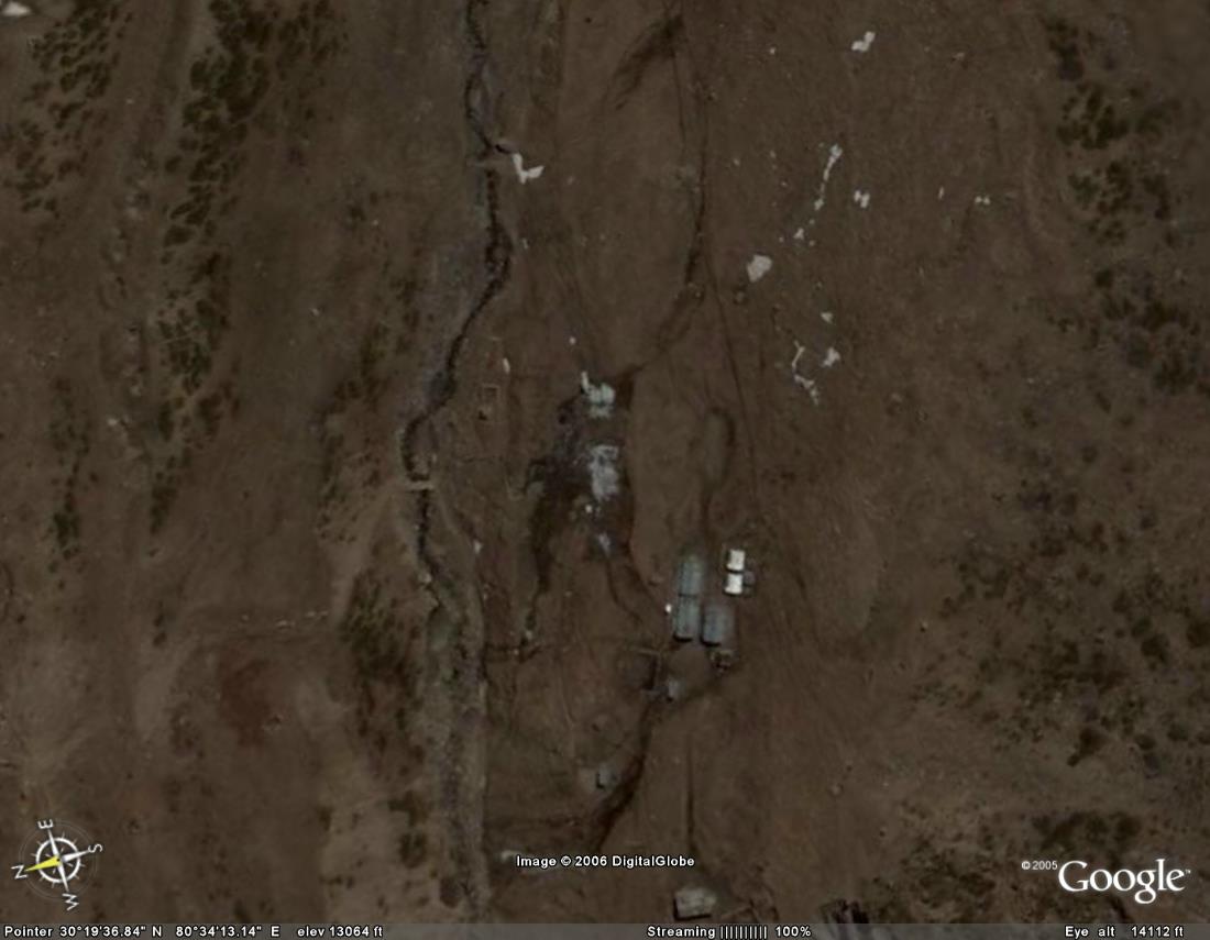
44)bidang- small village near sin la pass on the indo tibetan border

45) Path to Sin La Pass. u can spot bidang village at the bottom of the pic

46) sin La Pass zoomed up

47) Sin La from the other side

48) badrinath town seen from above

49) Gangolihat

50) pithoragarh bus stop

51) Pithoragarh airport

52) another pic of pithoragarh
1). almora
2). bageshwar
3). banderpunch peak (if u walk a little ahead of ruinsara tal, i guess this is the sight that will greet ur eyes)
4). barkot
5) barkot - zoomed
6) bhimtal
7) binsar
8) chakrata
9) chopta
10) deoban .. a small forest guest house in the forests ahead of chakrata
11) deoriatal ... near chopta. where the 4 pandavas came to look for water n could not answer yaksha's questions
12) dwarahat ... near a river. there is an engg college here
13) haridwar
14) jeolikot..near nainital. lots of strawberries r grown here. so it is a very yummy place :-)
15) milam village - zoomed up. on the upper side is the village. below it are the itbp posts.
16) kathgodam railway station
17) milam
18) mussorie
19) nainital
20) nandadevi-northface
21) nandadevi-southface
22) nanada kot
23) pithoragarh
24) purola
25) ranikhet
25) rishikesh
25) rudraprayag
25) trisul
26) kapkot .. on the road from bageshwar to munsiyari
27) kapkot zoomed .. u can even spot a small car in the market place
28) dharchula
29) dharchula (india) and darchula (nepal) ... the kali river is the border
30) chamoli...not clear
31) karnprayag from top
32) karnprayag zoomed
33) karnprayag bridge..notice the tiny cars
34) tharali ... on the way to roopkund lake...
35) tehri - top view
36) tehri dam
37) uttarkashi - top view
38) uttarkashi - horizontal view
39) pauri - top view
40)paurizoomed- pauri zoomed up
41)pauriside- pauri side view
42)kgdrlwstn- kathgodam railway station zoomed up
43)hldbusstop- haldwani bus stop zoomed up
44)bidang- small village near sin la pass on the indo tibetan border
45) Path to Sin La Pass. u can spot bidang village at the bottom of the pic
46) sin La Pass zoomed up
47) Sin La from the other side
48) badrinath town seen from above
49) Gangolihat
50) pithoragarh bus stop
51) Pithoragarh airport
52) another pic of pithoragarh
posted by Prashant Joshi at 12:00 PM
![]()
![]()
9 Comments:
nice work dude
Great job... Kudos !!
keep up the good work dude~!!!
Nice work! But a small correction. Bidang is not a village. There are no houses there. The shacks in the image are ITBP huts. The only other people who stay there are shepards who take their flocks in summer and return by winter
Wonderful job mate
I went there and found it heavenly
would love to visit again ..
Iam might go all the way to nepal via Jhulaghat
thanks for sharing
Excellent work
Nice Gullu!! This is awesome!
Gazab gazab.
Wonderful!
It is really beautiful and detailed ......
Post a Comment
<< Home