Har ki Dun trip - Day 3
day 3 of the trek. today we coverd a distance of 16 kms from taluka to seema.
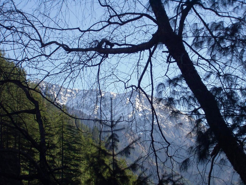
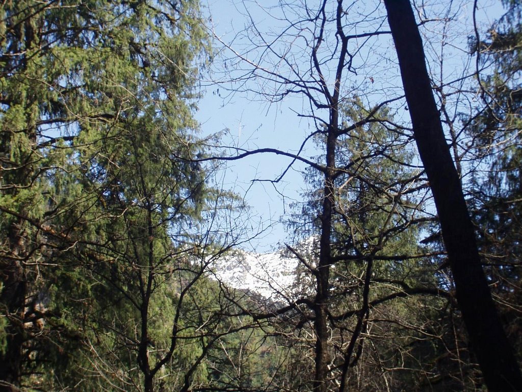
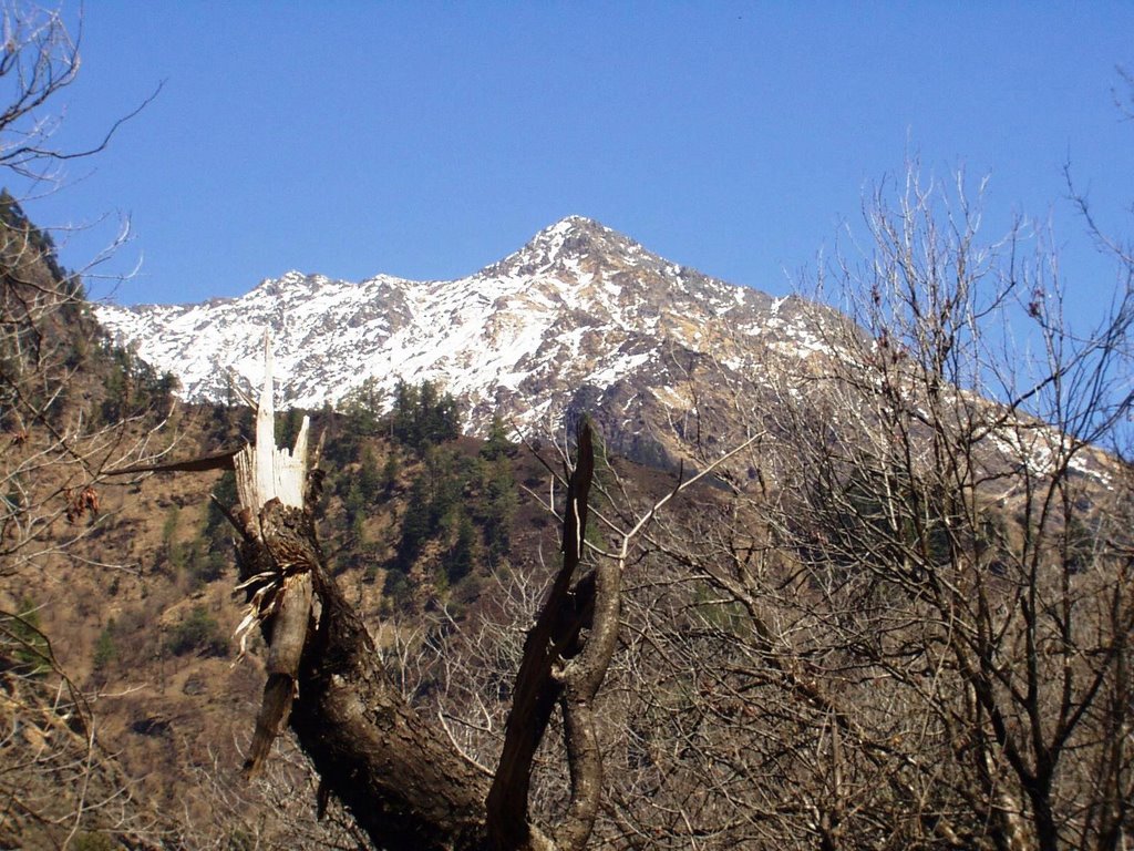
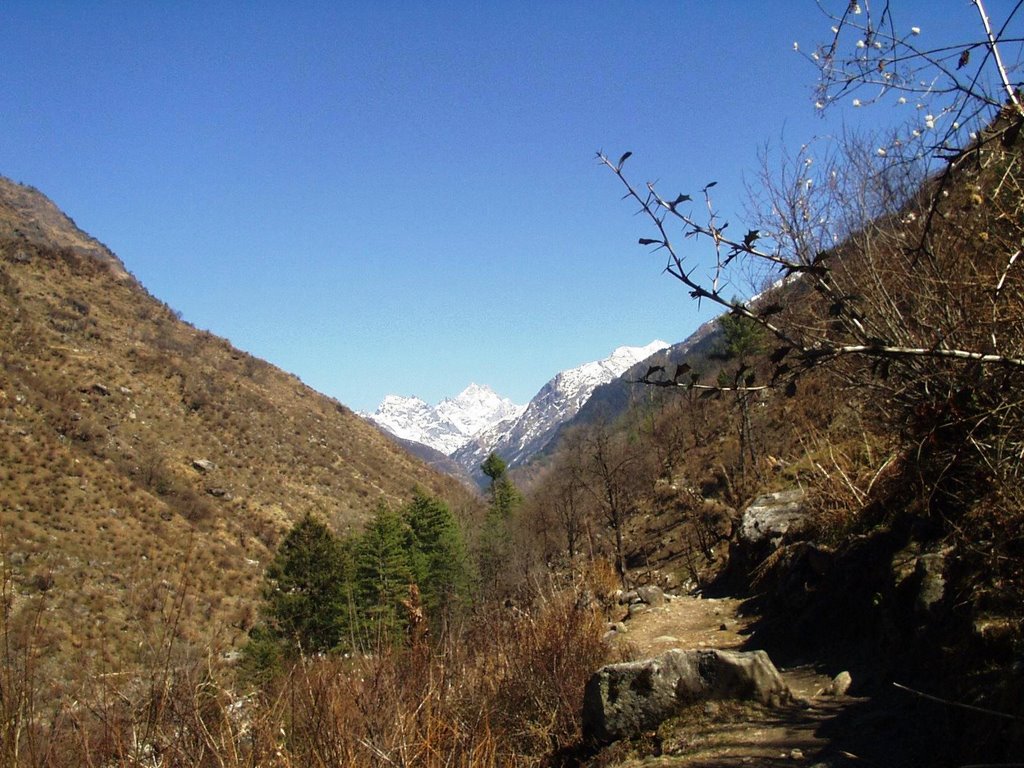
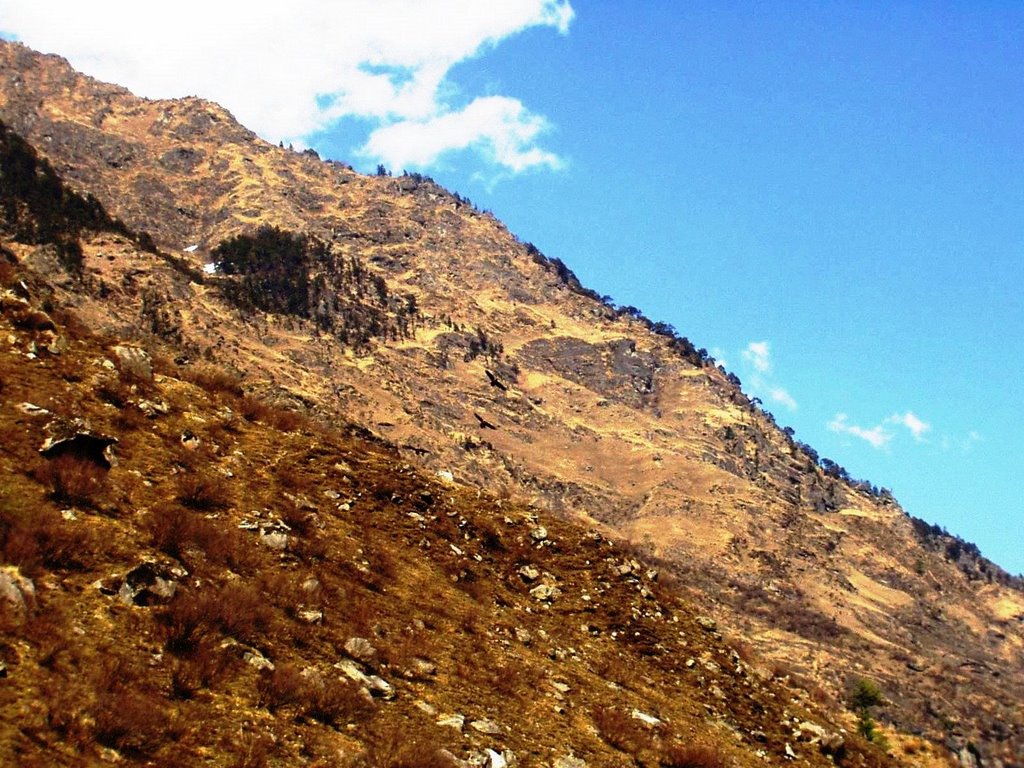
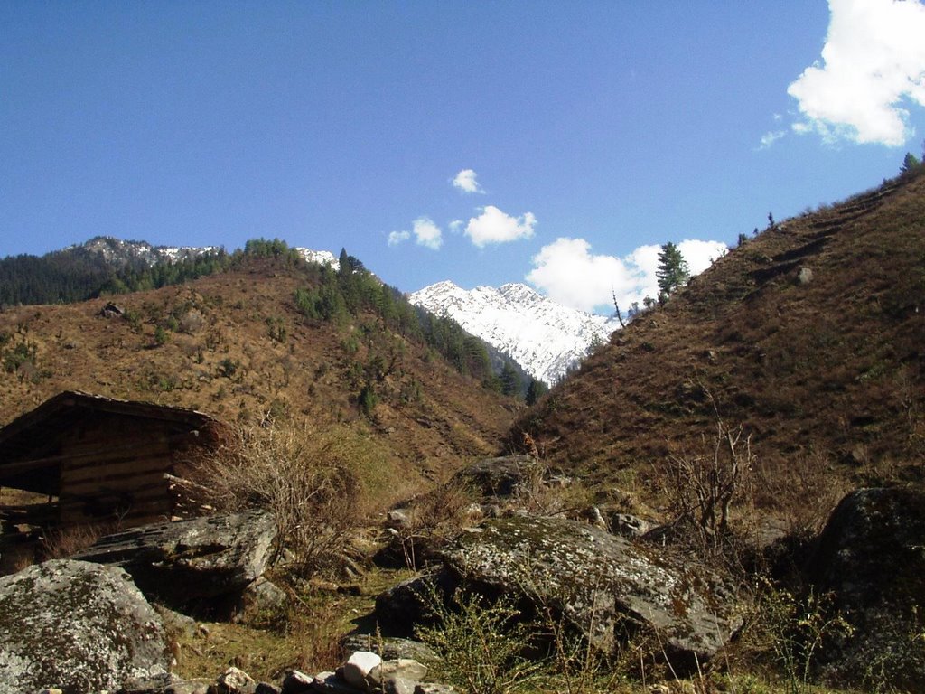
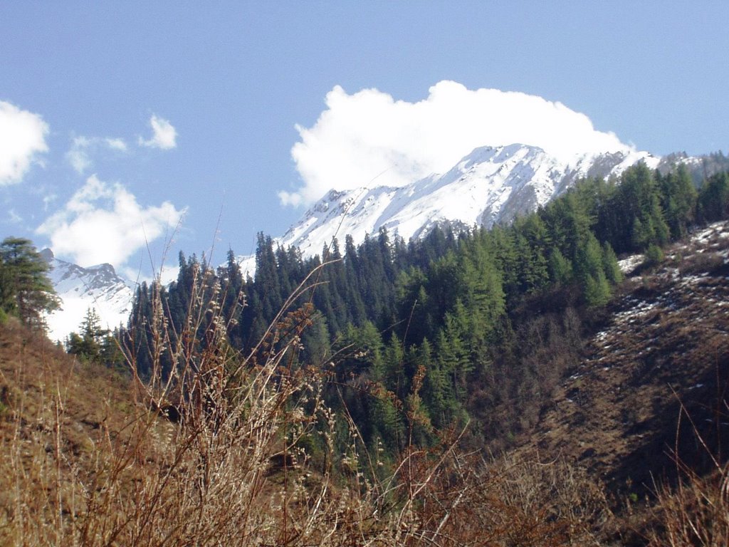
got up pretty early, got ready and had breakfast by 7:30 am. the gorkha lady packed up some stuff for us and we were on our way. there r 2 paths leaving from taluka village. one goes down and follows the rupin river. the other goes up towards datmir village. if u r travelling with horses, then u shld follow the path via datmir village, coz the other path is very narrow at places. u could spot the snow covered peaks just above the tree line.
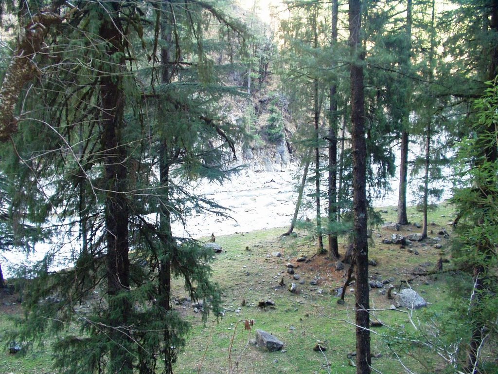
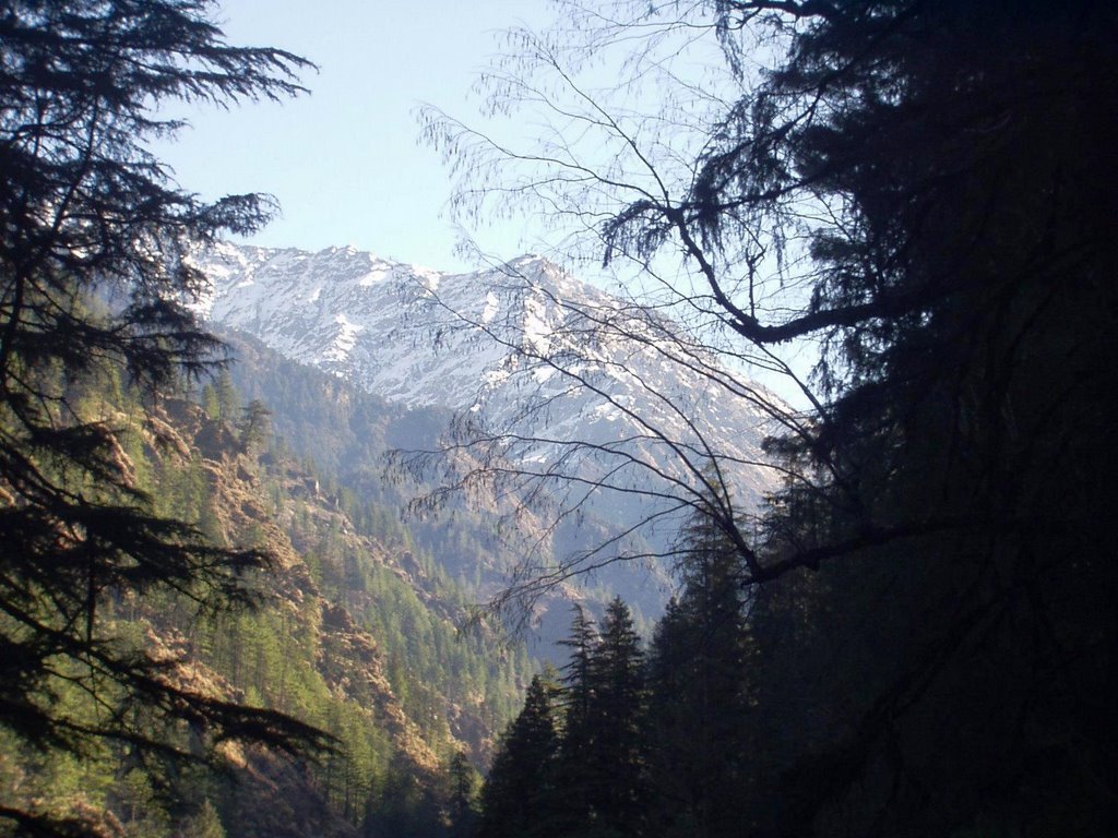
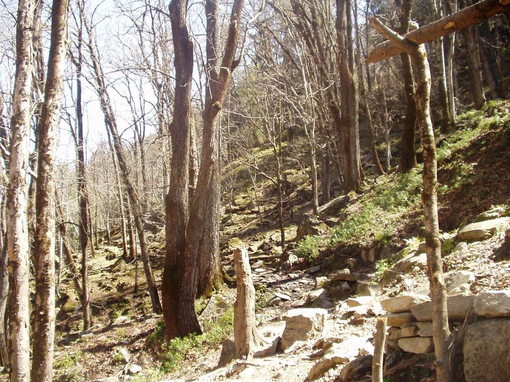
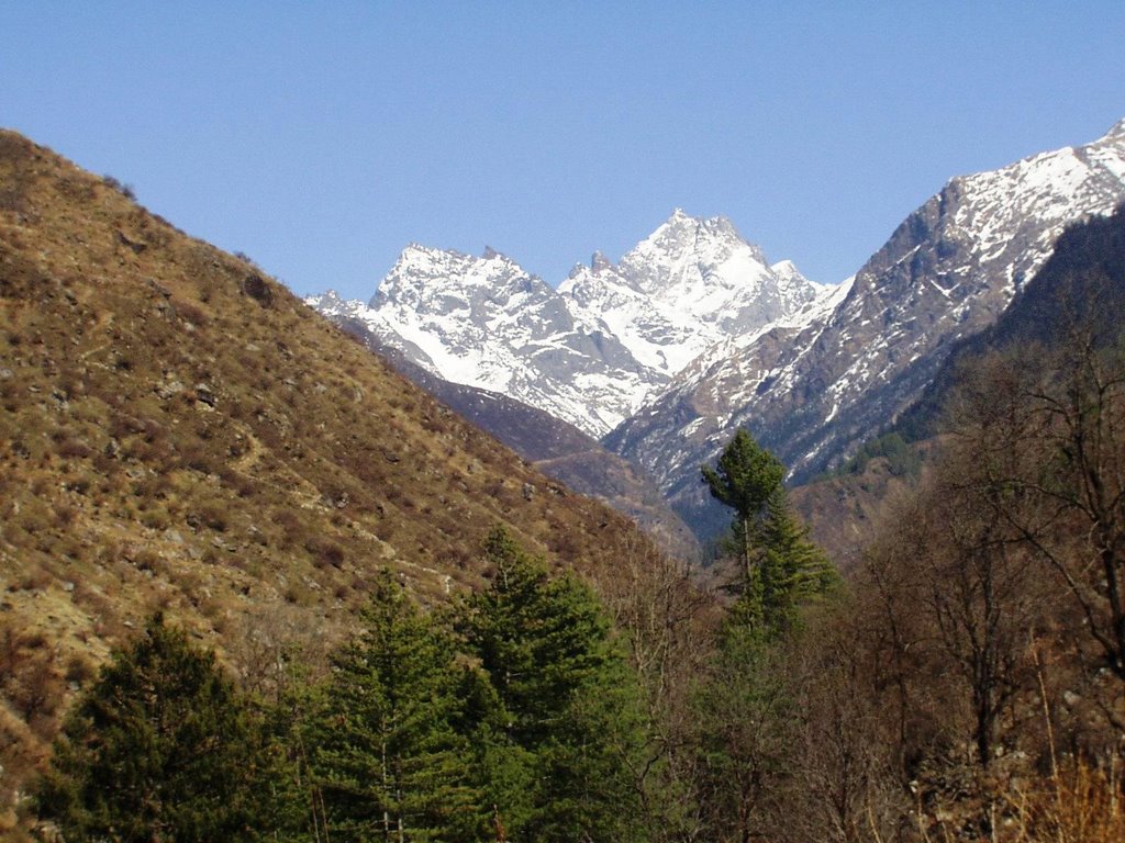
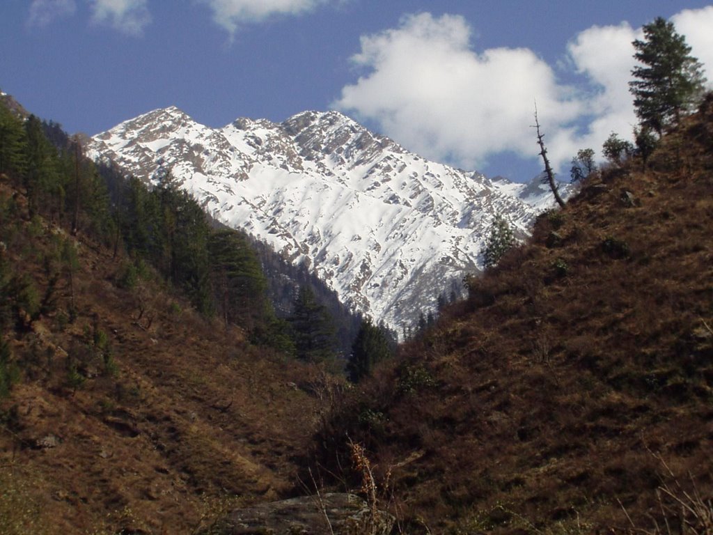
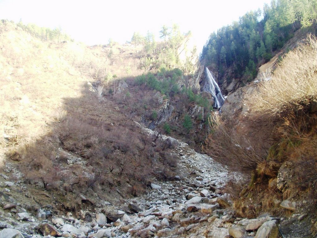
the first break was at this meadow. it was a larger meadow earlier, but now, a part of it was washed away after the heavy snowfall in 2004-2005. the melting snow can sometimes cause avalanches or landslides.

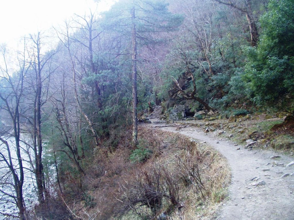
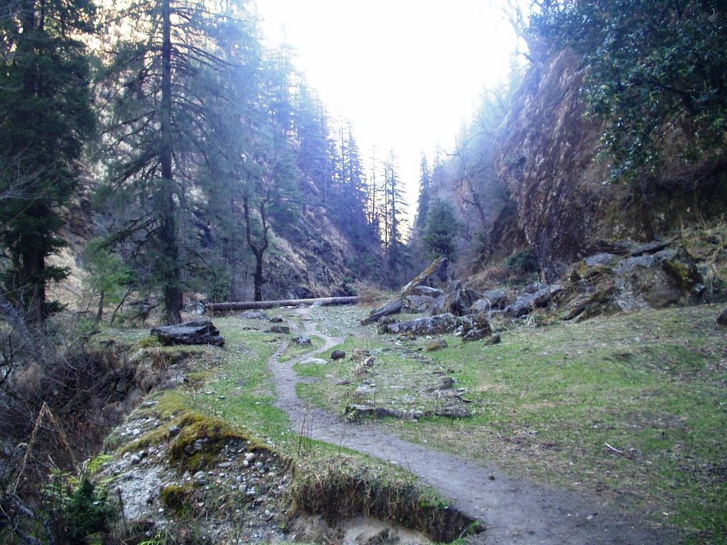
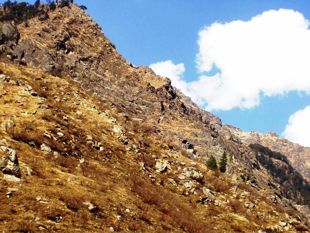
after this, the path gets really zig zag. u have to go up, copem down n then go up again. at some places it is really really really narrow or almost vertical. gets a bit tough to climb with a rucksack. plus, my shoes seemed to have lost some of their grip.
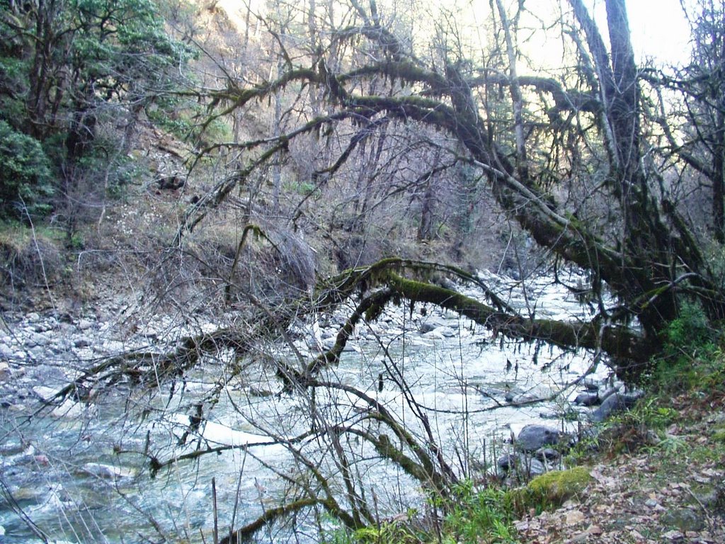
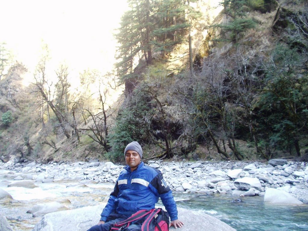
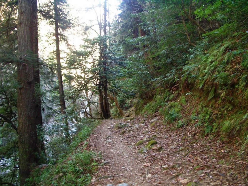
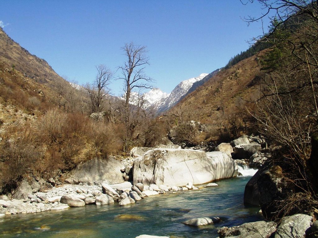
i asked mr. rajendar singh to take my pic at a place where the path came down to the level of the rupin stream. the path was so narrow and the mountain formed almost a wall next to the stream. there were mosses growing all over the place and the melting snow water was seeping from a million different sources. so u had to walk very very very carefully.
soon we came to a small clearing. the guide told me that in the tourist season (may onwards), a small dhabha opens here which sells biscuits, tea, sandwiches, etc. we filled up our water bottle from a nearby stream and then had our lunch.
this was where we stopped for lunch.
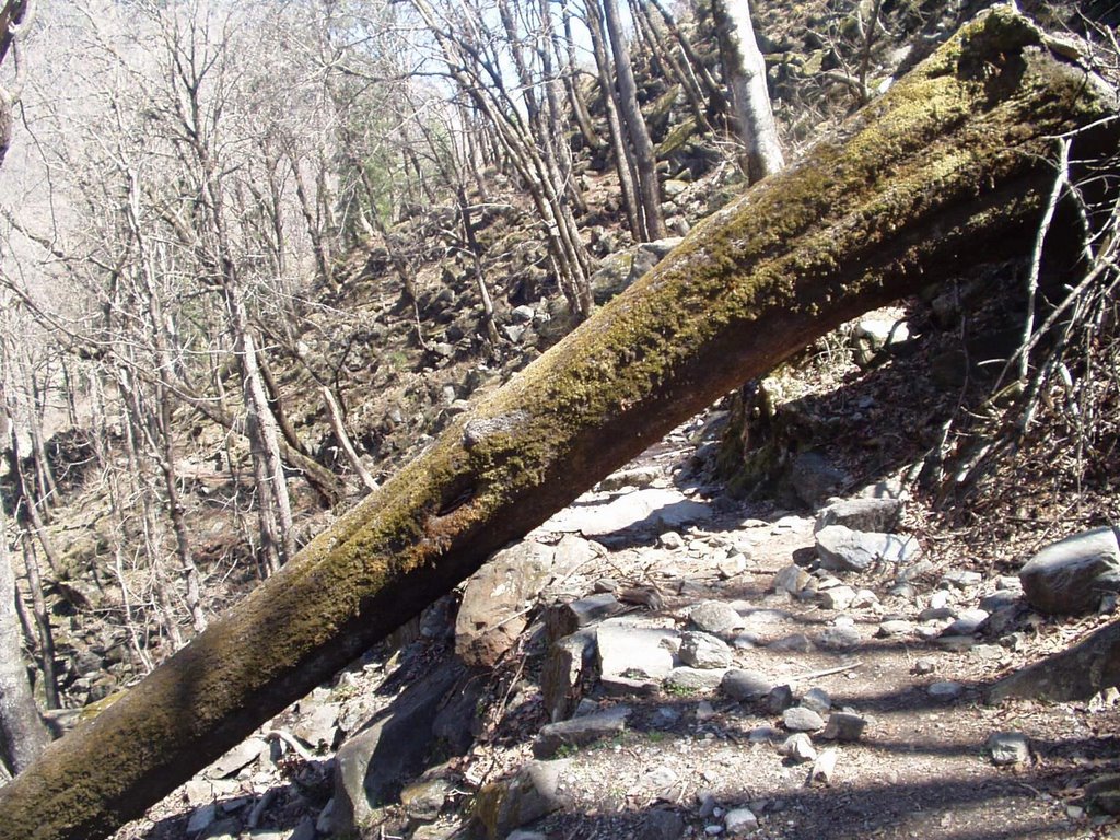
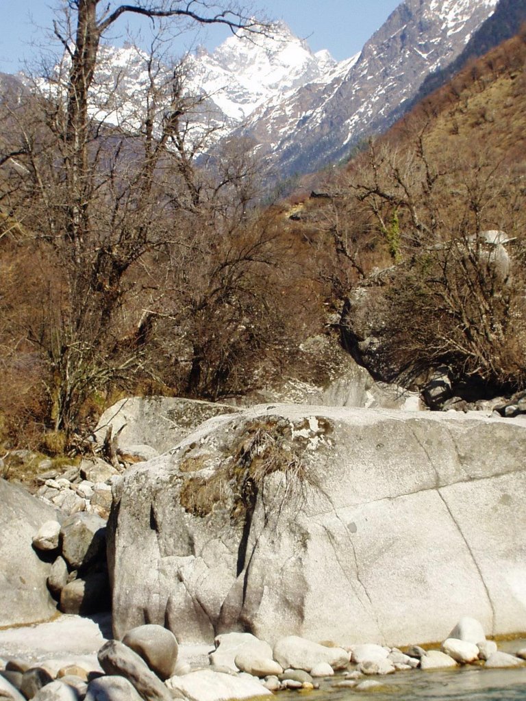
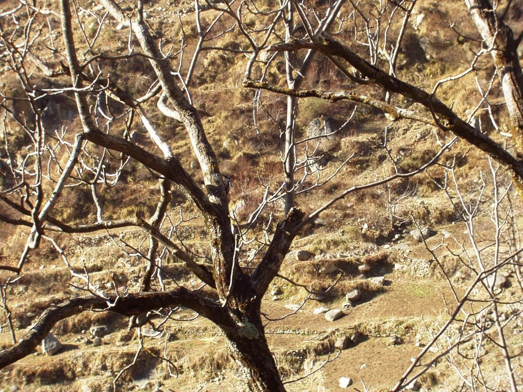
at some places, the winter snow, avalanches and fast moving streams had caused some trees to collapse .. like in 1 of the pics above. now, as we were going, there was a place where we had to cross some streams. there was no bridge and a pine tree had fallen over the stream. so we had to "walk" on the "stem" of the pine tree to cross the stream. i did not look down while crossing. phew, i was really relieved when i was on the other side. now this is a dangerous thing. so if u r gonna do it, be very very very careful.
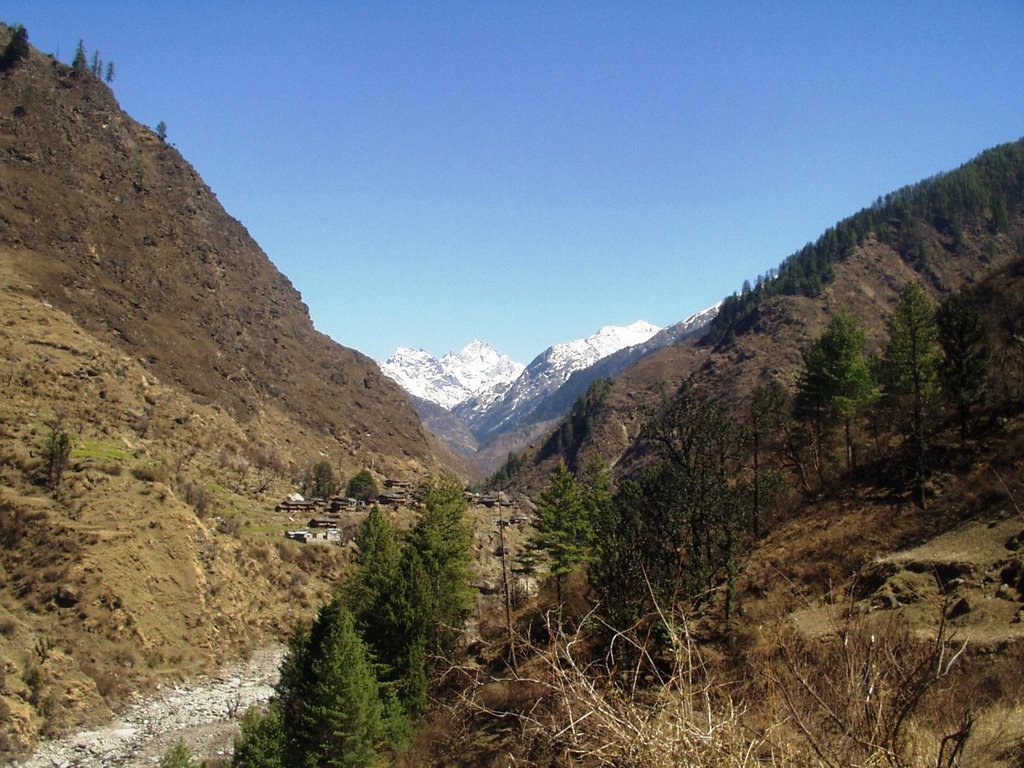
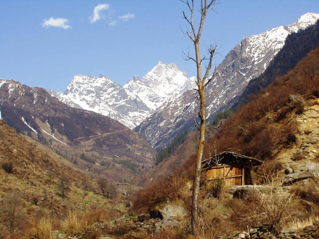
pretty soon, after the lunch, the village of ghaghar appeared on the other side of the river. we did not cross the river to go to the village but just rested for some time near the bridge.


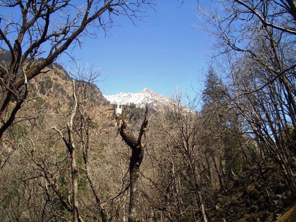
there were some nice views of hkd (har ki dun peak) from ghaghar. i guess the village ppl can have a nice time during summers .. sitting in their balconies and basking in the sun.. ahh lovely. from ghaghar, it is about 3-4 kms to seema/osla. seema is on the true left of the stream and osla, on the true right, at a higher altitude than seema.
i spotted some rare himalayan mountain eagles, and tried to take their snaps. they were on the other side of the stream, at a very high altitude. it seemed to me as if they were fighting amongst themselves .. or maybe even playing with each other. this was the max zoom my camera could do (next time, if i have the moolah, will go for a professional slr lens camera).
this is a pic of the eagles
2 eagles fight while the 3rd flies below
there were more pretty sights on the way before us....but i was getting a bit tired.
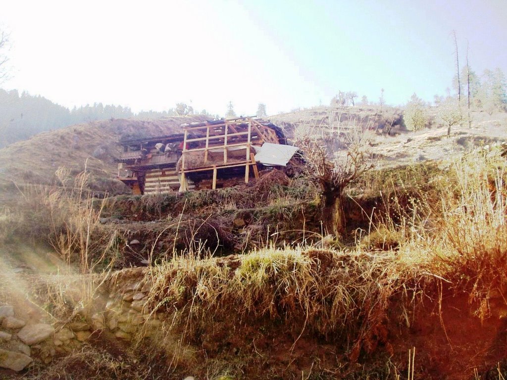
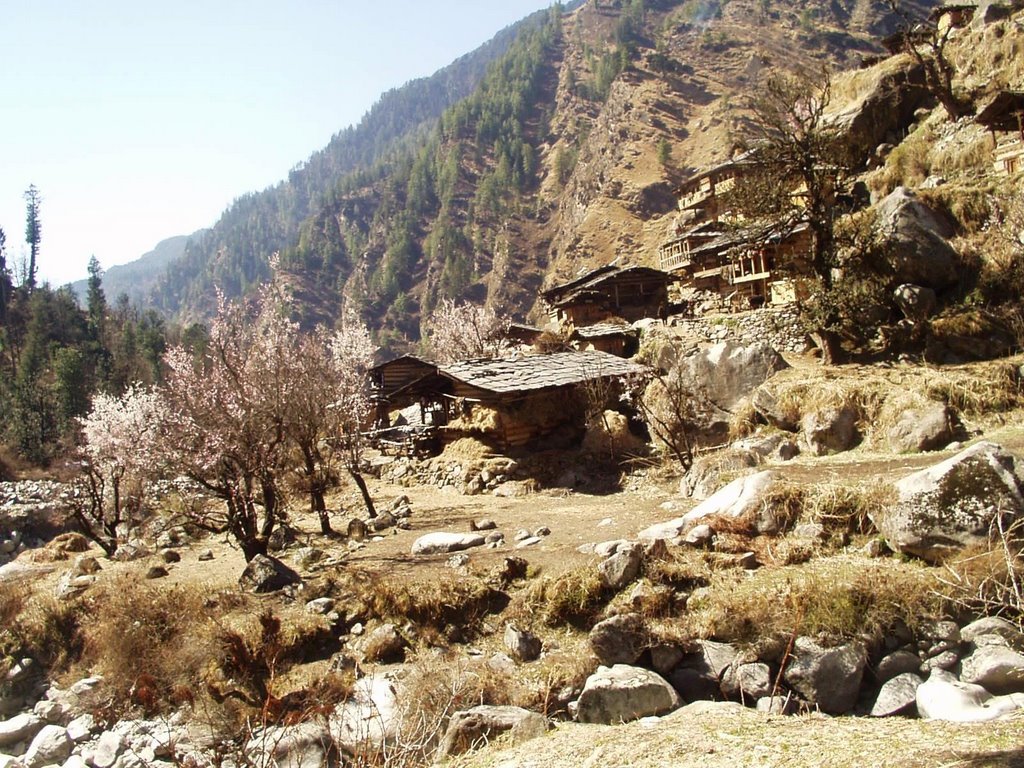
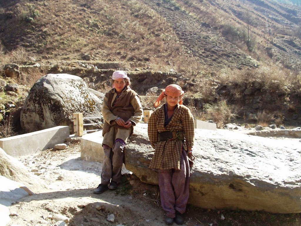
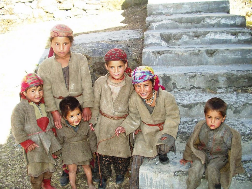
finally, the village taluka came into view. phew, i was pretty exhausted. it had been a long, winding trek. thee were some really cute n playful kids out there, very much ready to have their snaps taken. we stayed in the forest guest house. the kmvn guest house was next to the forest guest house. in feb march, these places r totally empty. the chowkidars also stay in the villages. they will just come n open the room for u. no kitchen, etc is working over here right now.
we had packed up some stuff from taluka village (maggie noodles, rice, spices, masala, etc). so the guide collected some firewood in the small shed that was next to the forest guest house n started making a fire. as for me, i just sat n rested n absorbed the sunrays.
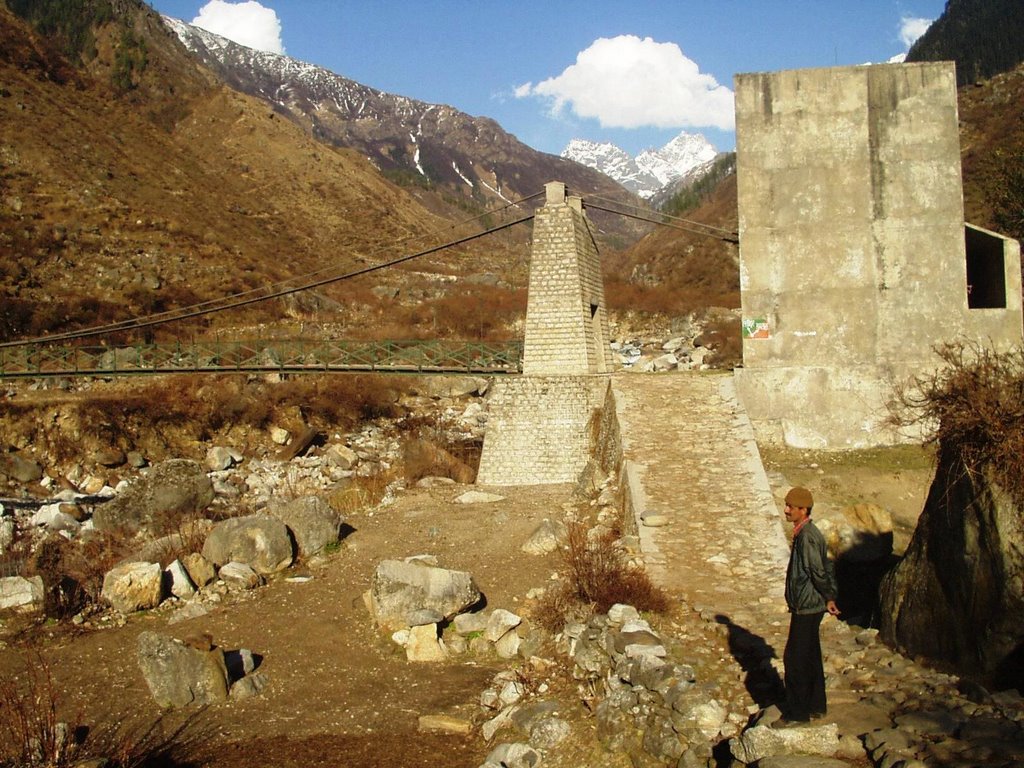
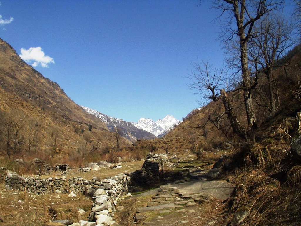
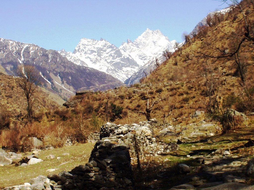
just ahead of seema village is a steel bridge. if u cross that bridge, then u can go to osla or har ki dun. if u don't cross it but go ahead on then u reach ruinsara tal.
got up pretty early, got ready and had breakfast by 7:30 am. the gorkha lady packed up some stuff for us and we were on our way. there r 2 paths leaving from taluka village. one goes down and follows the rupin river. the other goes up towards datmir village. if u r travelling with horses, then u shld follow the path via datmir village, coz the other path is very narrow at places. u could spot the snow covered peaks just above the tree line.
the first break was at this meadow. it was a larger meadow earlier, but now, a part of it was washed away after the heavy snowfall in 2004-2005. the melting snow can sometimes cause avalanches or landslides.
after this, the path gets really zig zag. u have to go up, copem down n then go up again. at some places it is really really really narrow or almost vertical. gets a bit tough to climb with a rucksack. plus, my shoes seemed to have lost some of their grip.
i asked mr. rajendar singh to take my pic at a place where the path came down to the level of the rupin stream. the path was so narrow and the mountain formed almost a wall next to the stream. there were mosses growing all over the place and the melting snow water was seeping from a million different sources. so u had to walk very very very carefully.
soon we came to a small clearing. the guide told me that in the tourist season (may onwards), a small dhabha opens here which sells biscuits, tea, sandwiches, etc. we filled up our water bottle from a nearby stream and then had our lunch.
this was where we stopped for lunch.
at some places, the winter snow, avalanches and fast moving streams had caused some trees to collapse .. like in 1 of the pics above. now, as we were going, there was a place where we had to cross some streams. there was no bridge and a pine tree had fallen over the stream. so we had to "walk" on the "stem" of the pine tree to cross the stream. i did not look down while crossing. phew, i was really relieved when i was on the other side. now this is a dangerous thing. so if u r gonna do it, be very very very careful.
pretty soon, after the lunch, the village of ghaghar appeared on the other side of the river. we did not cross the river to go to the village but just rested for some time near the bridge.
there were some nice views of hkd (har ki dun peak) from ghaghar. i guess the village ppl can have a nice time during summers .. sitting in their balconies and basking in the sun.. ahh lovely. from ghaghar, it is about 3-4 kms to seema/osla. seema is on the true left of the stream and osla, on the true right, at a higher altitude than seema.
i spotted some rare himalayan mountain eagles, and tried to take their snaps. they were on the other side of the stream, at a very high altitude. it seemed to me as if they were fighting amongst themselves .. or maybe even playing with each other. this was the max zoom my camera could do (next time, if i have the moolah, will go for a professional slr lens camera).
this is a pic of the eagles
2 eagles fight while the 3rd flies below
there were more pretty sights on the way before us....but i was getting a bit tired.
finally, the village taluka came into view. phew, i was pretty exhausted. it had been a long, winding trek. thee were some really cute n playful kids out there, very much ready to have their snaps taken. we stayed in the forest guest house. the kmvn guest house was next to the forest guest house. in feb march, these places r totally empty. the chowkidars also stay in the villages. they will just come n open the room for u. no kitchen, etc is working over here right now.
we had packed up some stuff from taluka village (maggie noodles, rice, spices, masala, etc). so the guide collected some firewood in the small shed that was next to the forest guest house n started making a fire. as for me, i just sat n rested n absorbed the sunrays.
just ahead of seema village is a steel bridge. if u cross that bridge, then u can go to osla or har ki dun. if u don't cross it but go ahead on then u reach ruinsara tal.
posted by Prashant Joshi at 1:09 PM
![]()
![]()
7 Comments:
hello pnj. the main pics r about to come ... (the pics of the next 3 days). will upload them shortly.
Hi, Fantastic travel account & of course beautiful views... been on ano of treks but have nevr cud write down a detailed account as is done here.
really wonderful
wait till tonight. will post 700+ pics of the munsyari - khalia top trip also
hello,
going on treks for last almost 8 years in may
this year (2009 ) we have not decided yet
so i was gathering information
i liked your site
can you suggest any trek from 2 nd week of may for 5 to 6 persons
i have visited har ki dun , sa pass, kanchani tal, annapurna circuit, ruinsara tal
suggest some places my email is rmpethe@gmail.com
Hello,
You can try for milam glacier/nanda devi east base camp.
or go for roopkund/bedni bugyal.
check the links from my home page.
Hi,
me and my frnds are planning for Har ki dun trekking by the end of april 2011. W e are worried about few things:
1) Can we get the guide at the starting place only, do we have to book with Kumao mandal?
2) how much aprrox cost will be per person
gaurav.maheshwar@gmail.com
1). hello, you can get guides at starting places itself. no need to book with garhwal mandal vikas nigam. remember, har ki dun is in the garhwal side of uttarakhand (west). kumaon mandal is on the eastern side of uttarakhand
Post a Comment
<< Home