Song to Loharkhet
You are here
Home - Winter trek of Dhakuri - Song to Loharkhet
The Danpur Wiki
The region where we trekked lies beyond Bageshwar. It is called Danpur and the people over here are called Danpuriya. Here are some details about this place (taken from ‘Kumaon Ka Itihaas’)
Danpur is the region next to the great Himalayan Mountains. Its borders touch Johar, Pali, Baramandal and Gangoli. It extends from Ramganga in the west to Pindar river in the west. In the south lie the Shikhar peak and the meeting point of Hadbaad and Saryu Rivers. Administration wise, Danpur is divided into three parts – ‘malla’ (upper), ‘talla’ (lower) and ‘bichla’ (central).
Major mountains – In the north lies Nanda Devi, Nanda Kot, Sundardhunga, Nanda Khat, Bankatiya and other sky touching peaks. Besides these, Kafni, Kautela, Dhakuri, chiltha, Laudhira, Kiltop and Ganguly Vinayak are the other major peaks which lie between 10000 to 13-14000 feet. Many high waterfalls in these mountains resemble a string of pearls. Dhakuri, Namik and Lamtara are the famous and beautiful forests in these regions. The rivers flowing through the dense green forests at great speeds present a magnificent sight. One can only look and admire God’s handiwork and thank the almighty for showing him/her such a wonderful place.
In the summers, many Gujjars (nomadic tribe) bring their cattle over here. However, in the recent years, the people have started taxing them and hence the Gujjars are bringing less and less cattle.
Pindari glacier region – This region includes Pindari, Sundardhunga and Ramganga glaciers. The Pindari glacier is considered to be amongst the most beautiful glaciers in the world. There is a beautiful road to this place with inspection bungalows. Hence, it is the easiest glacier to reach. This is around 68 miles from Almora. It is difficult to find words to describe Pindari glacier.
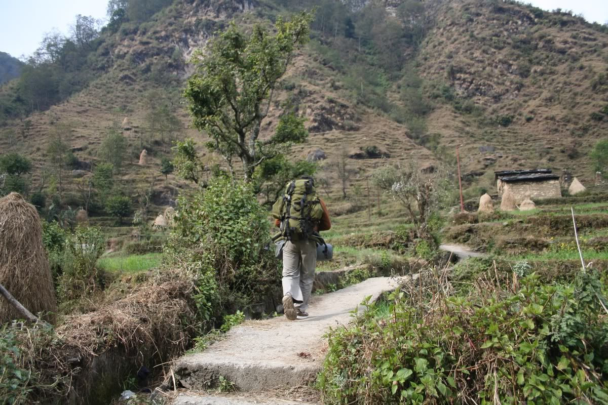
Song Village - we began the climb from here to Loharkhet (about 3 kms)
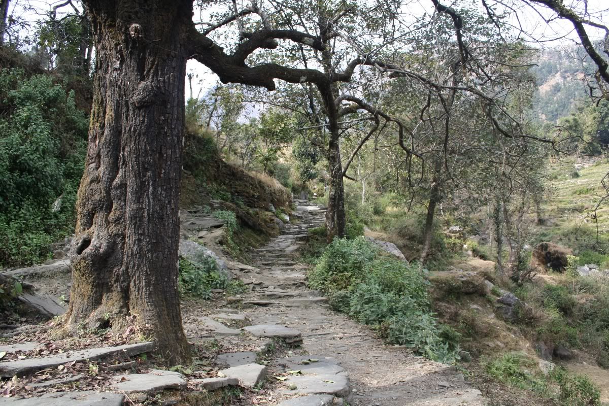
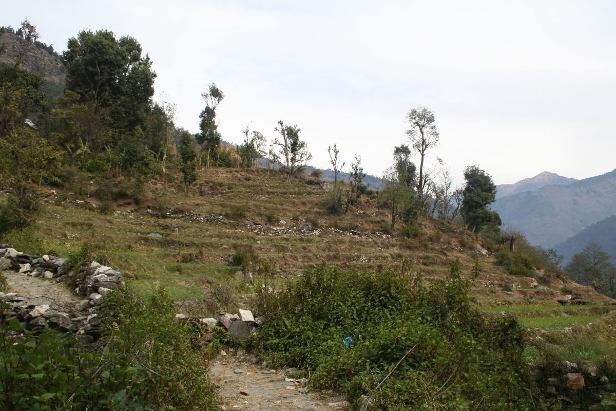
Taking in the scenery
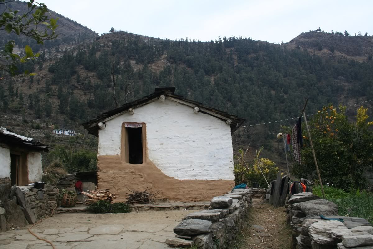
Stopping for water. Loharkhet is on the top of the ridge
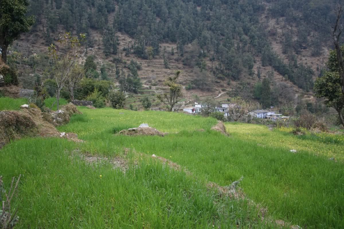
sunflower fields
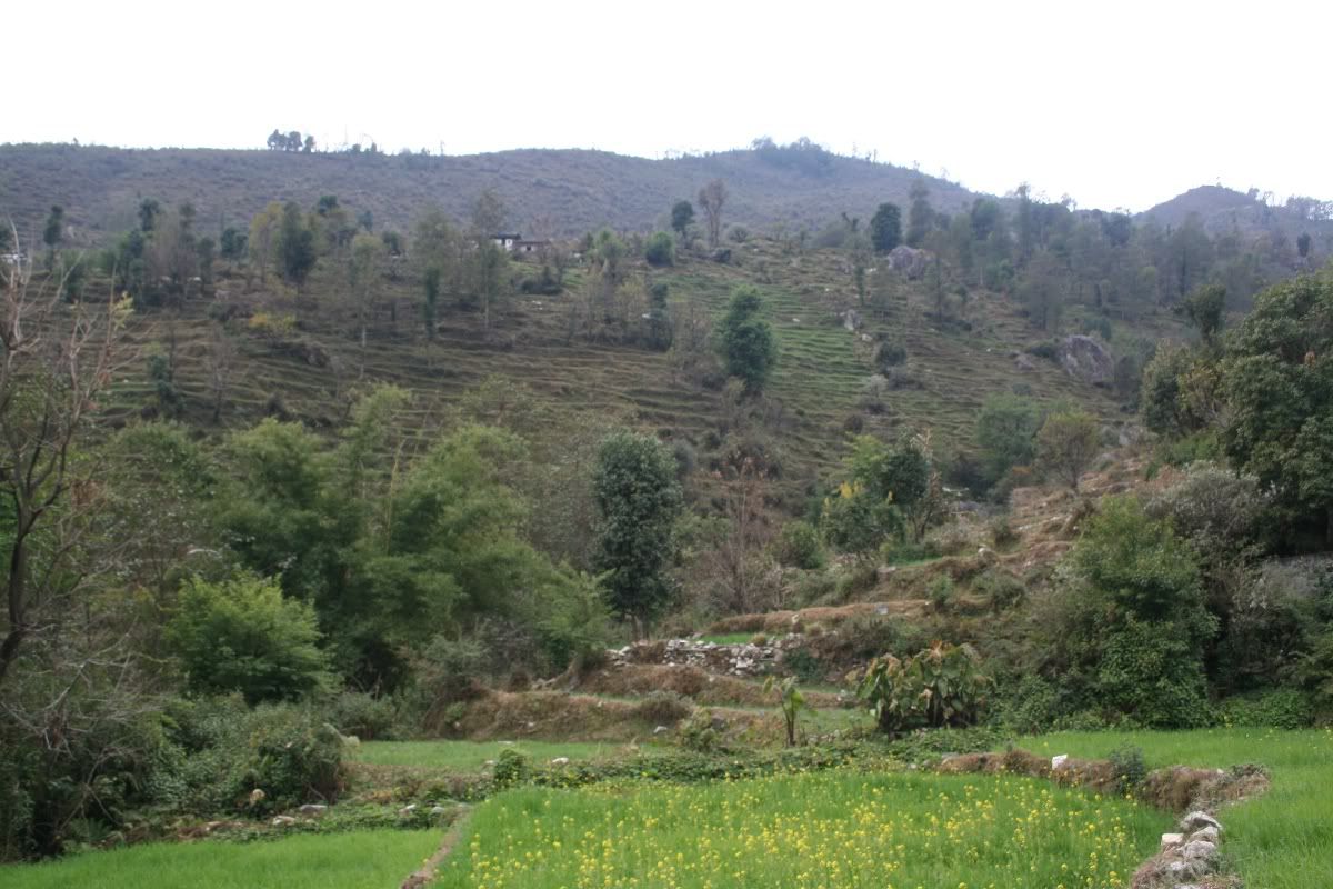
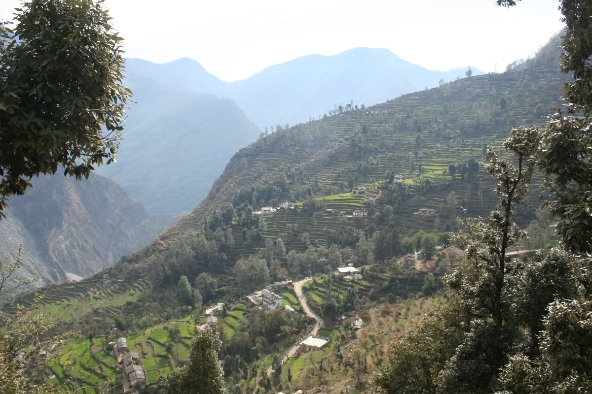
View of song
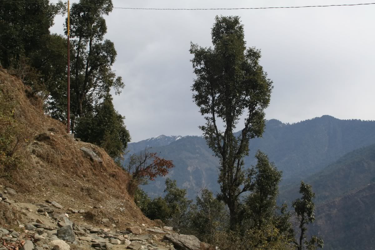
Taking a break
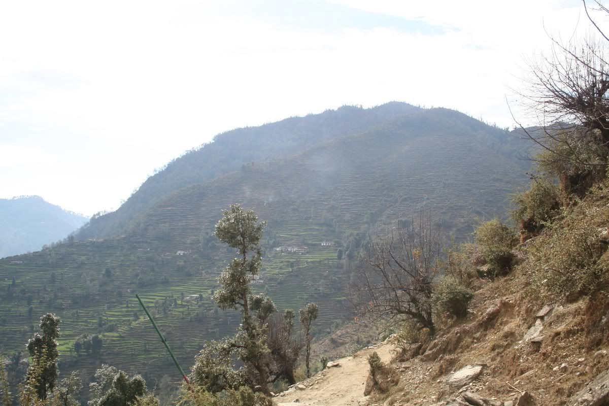
almost there
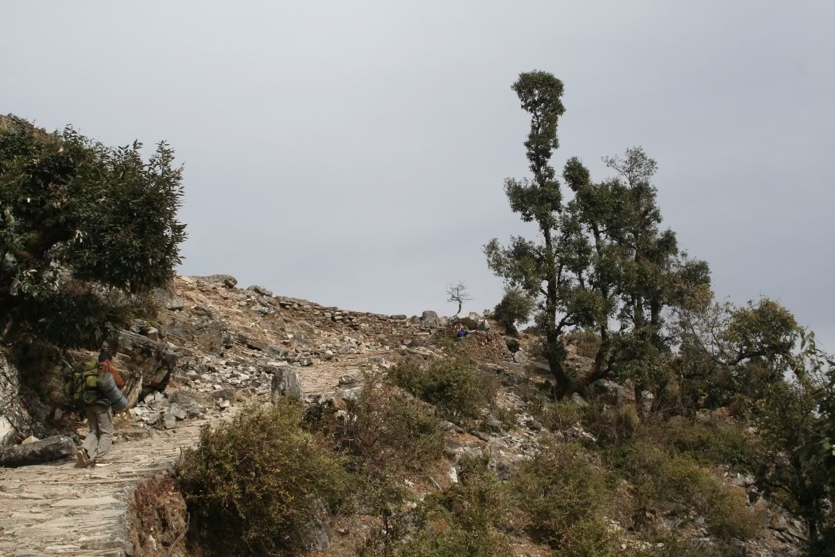
the clouds were turning slightly dark. tomorrow, thwere will be a snowfall
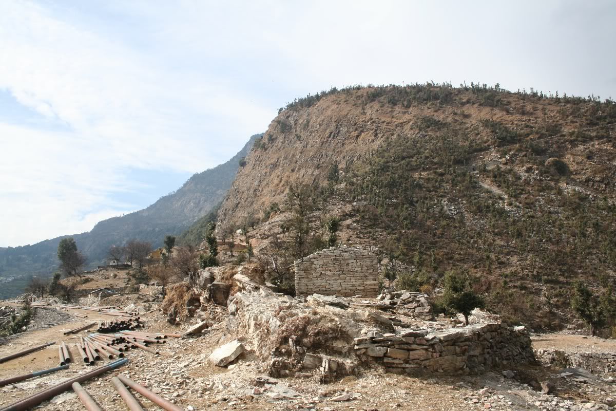
the KMVN TRC s at the far end of this picture
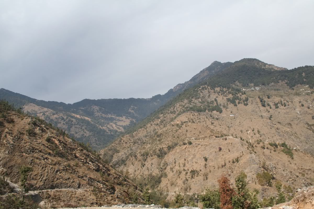
that is Dhakuri pass. We will climb it tomorrow.
7 Comments:
Very nice - certainly better then anything in firangi land.
yes, i definitely agree with u.
Very Gud.
very beautiful....
i wish if i could hve been thr for always...
I have become your fan and admiring your pics and descriptions by circulating them among my friends... i would like to go with you guys for a trek like this...
I have some pics too... at
www.flickr.com/myth_drinker
Hi Prashant,
I've been looking for some comprehensive, exciting blogs on Kumaon- and finally found yours! I'm going to leave for the Pindari trek in a couple of days. Can you tell me if it is ok to rely on the pwd/kmvn huts and not carry a tent? Also how bad is it in the rains?
Well, the KMVN huts are pretty decent. However, this is the tourist season and you cannot be sure if you will get a separate bed for yourself. Just try to ring up KMVN and try to book in advance.
Post a Comment
<< Home